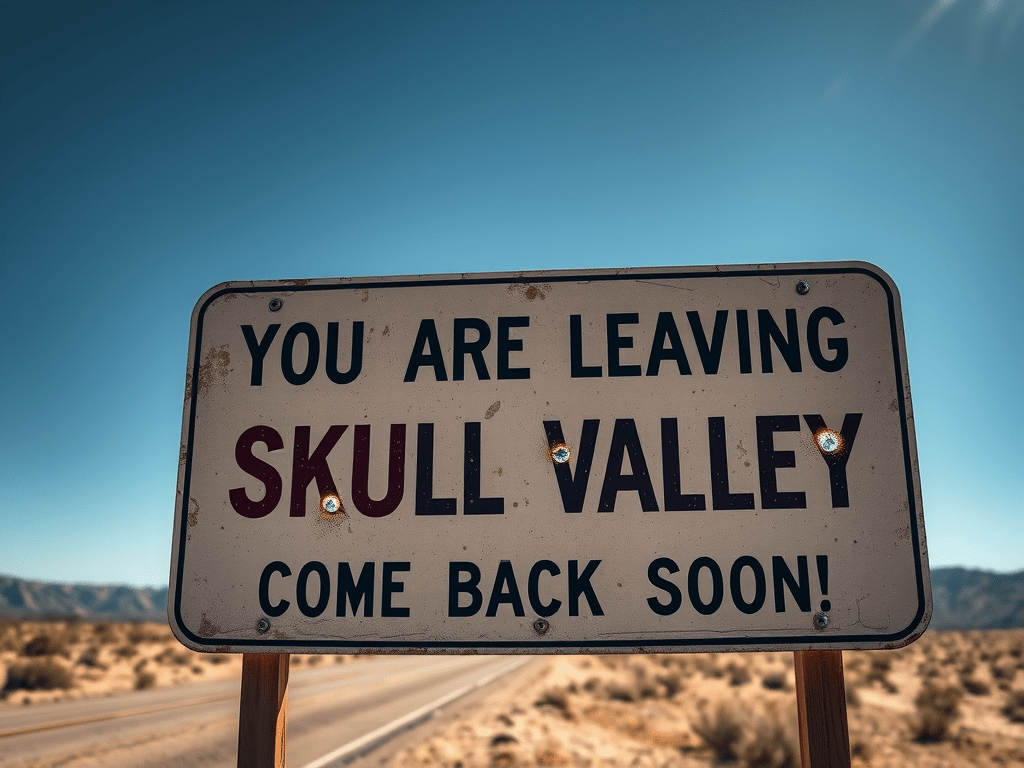
Last year, my wife and I visited Skull Valley, Arizona, and we fell in love with the place—especially the mystique. Just the name alone conjures up all kinds of strange images. The late actor, Robert Mitchum, along with his deceased son, James, lived in Skull Valley on their ranch when they weren’t in Hollywood. I suppose the Mitchum family found sanctity there.
I knew more about Harper Valley than I did Skull Valley, thanks to an informative song performed by Jeanie C. Riley in 1968. That tune was labeled, “Harper Valley PTA.” For those younger folks having never heard this recording, it’s well worth listening to.
I’m not sure Harper Valley is in Arizona, but it could be. There’s a Harper Valley Acres located in our state that raises cattle and Red Wattle hogs. I couldn’t find a school listed there, so without question, there’s no Harper Valley Acres PTA.
As I mentioned earlier, I’ve been to Skull Valley, though perhaps only for 30 minutes. Joleen and I stopped long enough to snap pictures of a vintage gas station and a general store. The woman in the store where I bought a Coke was extremely nice.
I hear from friends living in Prescott and Chino Valley that the gas station is now a café and gift shop. Next time through, we’ll check things out. I’d actually like to find a small parcel of property in Skull Valley to park our camper on and spend a few weeks. That’d give me time to really check the place out.
For location, demographic, and historical sake, Skull Valley is a small, unincorporated community and valley located in Yavapai County, Arizona. Known for its rugged beauty and unique name, the area has a rich history shaped by the presence of Native Americans, pioneer settlement, ranching, and railroad development. This document explores the key events and influences that have defined Skull Valley’s past.
Before European settlement, the region now known as Skull Valley was inhabited by Native American tribes, notably the Yavapai and Hualapai. These communities utilized the valley’s resources for hunting, gathering, and traditional practices.
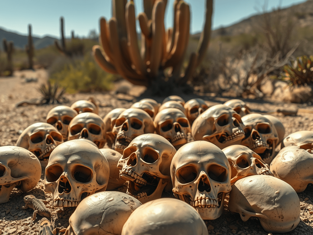
The name “Skull Valley” is believed to originate from a battle between local tribes, where skulls were reportedly found in the area. While the precise details are lost to time, this legend contributed to the valley’s distinctive name.
In the mid-1800s, American pioneers and prospectors began arriving in central Arizona, drawn by the promise of mineral wealth and grazing land. Skull Valley’s location provided fertile ground for agriculture and ranching, and settlers established homesteads throughout the valley. The area’s isolation made it ideal for ranching, and cattle and sheep ranches proliferated in the late 19th century.
The arrival of the railroad in the late 19th century was a turning point for Skull Valley. In 1894, the Atchison, Topeka, and Santa Fe Railway built a line through the region, establishing a depot that served as a vital link for ranchers, miners, and travelers. The railroad facilitated the transport of goods and livestock, connecting Skull Valley with Prescott and other Arizona communities.
Throughout the 20th century, Skull Valley remained a tight-knit rural community. The Skull Valley School, opened in 1926, became a local landmark, serving generations of children in the area. The community also established a post office in 1877, which remains operational today. Despite its small population, Skull Valley has maintained a sense of identity and continuity over the decades.
Today, Skull Valley is a quiet, scenic region known for its ranches, historic schoolhouse, and tranquil landscapes. It attracts visitors seeking a glimpse of Arizona’s rural heritage and serves as a reminder of the state’s frontier past. While the population remains small, the community’s history is preserved in its landmarks, stories, and enduring traditions.
Skull Valley, Arizona, stands as a testament to the resilience and spirit of rural communities in the American West. Its history, shaped by Native American presence, pioneer ambition, and railroad expansion, continues to influence the character of the valley. As Arizona evolves, Skull Valley remains a unique and storied part of its landscape!